2026-11-04 · 6 min read · Playa del Rey
What Is Daily Life Like on the Playa del Rey Bluffs Compared With Down Near the Beach?
The short answer
Down near the beach, more of your day can happen on foot. The sand, the lagoon park and the businesses on Culver Boulevard are close by, and the homes sit low and close together. Up on the bluffs, you are on higher ground, and some streets have the view people come here for. In exchange, the walk to the sand usually means going down a slope and back up it.
Neither side is the better one. They are two different days in one small neighborhood, and the right one depends on how you actually live. If you are choosing between them, here is what changes, what stays the same, and how to test it for yourself before you write an offer.
How the land is laid out
Playa del Rey has two kinds of ground, and that explains most of what follows.
The low side was originally wetlands and sand dunes. Ballona Creek runs along its northern edge, the Ballona Wetlands sit to the northeast, and the ocean is to the west. Culver Boulevard runs through the low side and meets Vista del Mar near the beach.
Rising above that are the bluffs, long known as the Del Rey Hills or simply The Bluffs. They are old dunes that rise above the low streets and run parallel to the coast.
Los Angeles International Airport sits immediately south of all of it. That matters on both sides, and I come back to it below. If you want the wider picture first, my Playa del Rey neighborhood guide covers the whole area.
Daily life down near the beach
On the low side, a lot of what you would use in a week is close by.
- Errands. Part of Culver Boulevard has local businesses. Walk it and see which ones you would actually use.
- The park. Del Rey Lagoon Park, with its shallow lagoon, is on this side.
- The water and the path. Dockweiler State Beach is close, and the Pacific Avenue Bridge carries people on foot and on bikes over Ballona Creek. The Ballona Creek Bike Path and the Marvin Braude Bike Trail are both part of life on this side.
The homes are close together. The small area nearest the beach, where Culver Boulevard meets Vista del Mar, is known locally as The Jungle.
What you take on here is mostly about being low and near the water. Salt air works on a building all year, and this article on salt air shows what an inspector notices. Insurance is its own question, which I cover in insuring a home near the water.
Daily life up on the bluffs
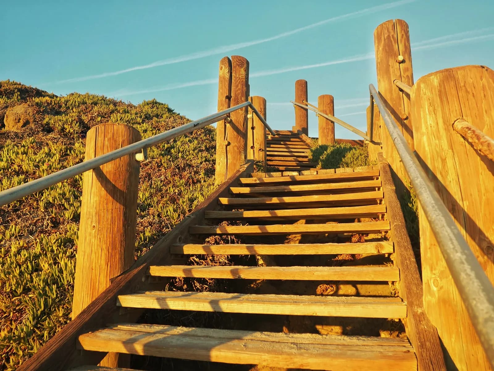
The first difference is the slope. The bluffs put you above the low streets, so depending on your street, a trip to the sand or to Culver Boulevard means going down and coming back up. Some people count that as their daily exercise. Others find they drive more than they planned to. Walk it before you decide which one you are.
The second difference is the view. Some bluff streets look out over the ocean or the wetlands, and that is what many buyers are paying for. Two cautions. Not every bluff home has one, so judge the home you are looking at, not the street's reputation. And a view today is not always a protected view, which I explain in what protects an ocean view in Playa del Rey.
The third difference is the ground under the home. A slope brings its own questions about drainage and how the lot was built up, and those are worth asking early. They are different questions from the ones on the low side, and they belong to your inspection and your own advisers.
What is the same on both sides
The airport. Living immediately north of LAX exposes some residents to noise and air pollution from the airport. Just south of the neighborhood is the former Surfridge area, where homes were removed decades ago for airport expansion and because of jet noise. So this has been part of local life for a long time.
Los Angeles World Airports says aircraft typically depart to the west because of prevailing winds. Weather can change the pattern. What you actually hear depends on your street, the wind and the day, so I would not trust a general rule for either side. My article on living near LAX looks at what it means for value.
The rules. Both sides are in the City of Los Angeles, so city zoning and permits apply on both. Whether a project also needs coastal review depends on the exact parcel. You can check with this guide to the coastal zone.
Check the hazard maps by parcel
It is tempting to assume that high ground answers every hazard question. Check the parcel instead.
- Earthquake zones. State maps follow terrain, not street names. My liquefaction article shows how to look up any address.
- Tsunami maps. The California Geological Survey publishes an interactive tsunami hazard map you can zoom in on. The state says those maps are not legal documents and do not meet real estate disclosure requirements, so treat them as a planning tool.
- The disclosure report. In a purchase, read the natural hazard disclosure report for that specific property during your contingency period, and ask what it does and does not cover.
How to test each side before you offer
You can learn more from three short visits than from any listing description. Do these on both sides.
- A weekday morning. Start at the front door and walk to the sand and to Culver Boulevard. Then walk back. On the bluffs, the way back is the part that counts.
- A weekend afternoon. See where cars park, how busy the street is and how long it takes to drive out.
- An evening. Stand outside and then inside with the windows open. Listen for planes and for the road. Notice the wind.
While you are there, ask yourself which of these you would use every week, and be honest. If you want to walk out the door to the water, the low side gives you that. If you want height and possibly a view and do not mind the car, the bluffs may suit you better.
How I help
When a buyer is torn between the two sides, I start by asking how a normal Tuesday looks for them. Then we look at homes on both sides of Playa del Rey, and I walk you through the disclosures and what each one means. I handle everything from there, so you can focus on the choice. You can also read more about buying a home in Playa del Rey.
If you want to talk it through, get in touch. I'm here when you're ready. Call or text me at 310.708.7717.
Common questions
- What are the Playa del Rey bluffs?
- The bluffs, also called the Del Rey Hills, are old sand dunes that rise above the low streets and run parallel to the coast.
- Is it easier to walk to things near the beach in Playa del Rey?
- Generally yes. Part of Culver Boulevard on the low side has local businesses, and the lagoon park and the sand are close by. From the bluffs, you usually go down a slope first and back up on the way home.
- Do all Playa del Rey bluff homes have ocean views?
- No. Some streets have them and others do not, so judge the specific home. A view you enjoy today is also not always protected, so ask what could change it before you pay for it.
- Is LAX noise worse on the bluffs or near the beach?
- There is no general rule to rely on. What you hear depends on your street, the wind and how the airport is operating that day. Visit at different times and listen for yourself.
- Does being on the bluffs mean a home is outside the hazard zones?
- Not automatically. Check the specific parcel on the state's earthquake and tsunami maps. In a purchase, also read the natural hazard disclosure report for that property and ask what it covers.